The National Weather Service says parts of Connecticut could see strong wind gusts between 50 and 70 mph on Monday.
While no warnings or advisories have yet been posted, the NWS issued a Hazardous Weather Outlook early Saturday morning.
It read: “Deep low pressure tracking west of the region will produce strong southerly winds Monday and Monday night. Depending on the ultimate track and intensity of the system, gusts of 50 to 70 mph will be possible, with the strongest winds across Long Island and eastern Connecticut.”
The outlook is for all of southern Connecticut.
A low pressure system — fed by subtropical moisture — is expected to develop Monday and track northeast.
The NWS’ weather discussion gives some highlights of what we could expect:
- “The main focus is on the storm Monday and Monday night; the forecast has been ramped up, particularly with the wind threat.
- “There remains some uncertainty with the amount of rain. This will depend on the setup and orientation of the subtropical moisture feed. There will likely be at least an initial heavy rain burst on Monday, but whether there is more of a prolonged heavy rain threat is still in question.
- “The current forecast is 1-2 inches of rain generally across the area.
- “The system does look poised to produce strong winds. A wind advisory or high wind warning will be needed at some point for portions of the area.
- “The eastern half of the forecast area is most at risk. Right now, expect the threat to be in the range of 50-70 mph gusts, strongest in eastern areas.
- “Some coastal flooding will be possible, but the exact magnitude is very uncertain at this time. The current modeling suggests only minor right now, as the peak winds are lining up with the lower of two astronomical high tide cycles.”
Timing of the storm
The rain:
According to the NWS’s hourly forecast, the most likely period of rain is between 8 a.m. and 6 p.m.
Rain is also “likely” between 7 p.m. and 3 a.m. Tuesday.
A “chance”of rain then continues to 3 p.m. Tuesday.
Southeastern Connecticut has the best chance of a longer period of rain, the NWS says.
The wind:
Peak wind gusts will begin to increase around 11 a.m. and continue into the evening.
Madison on the shoreline could see wind gusts of up to 55 mph.
Stonington could have gusts as high as 59 mph.
Bridgeport could see gusts as high as 47 mph.
Power outages:
Outages are possible with high winds and the fact that the ground has become saturated from recent rain in the last several days.
Any good news?
The storm has the potential to be a drought buster for eastern and southeast Connecticut that still have moderate drought or abnormally dry conditions, according to U.S. Drought Monitor.
The forecast
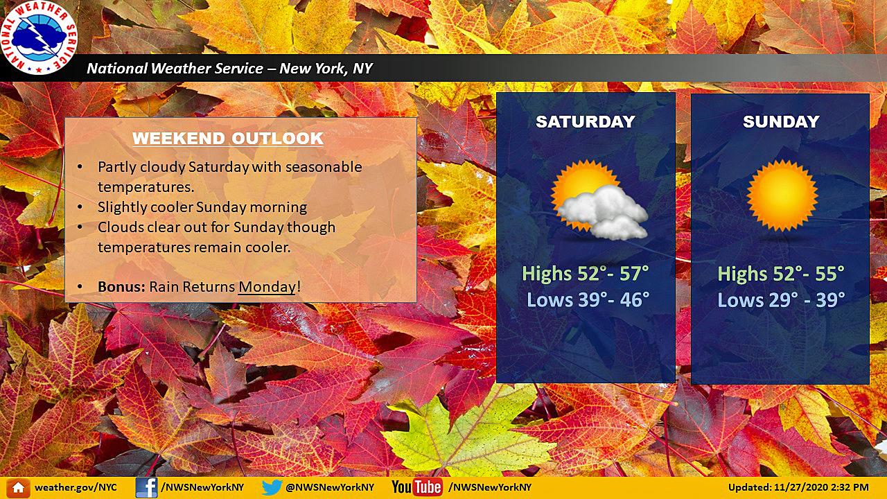
Today: Mostly sunny, with a high near 52. West wind 3 to 8 mph.
Tonight: Mostly clear, with a low around 33. West wind 3 to 6 mph.
Sunday: Sunny, with a high near 51. Light and variable wind becoming southwest around 6 mph in the afternoon.
Sunday Night: Mostly clear, with a low around 39. Southwest wind around 5 mph becoming calm in the evening.
Monday: Rain, mainly after 8 a.m. The rain could be heavy at times. High near 60. Breezy, with an east wind 5 to 10 mph increasing to 16 to 21 mph in the afternoon. Winds could gust as high as 41 mph - higher in southeast Connecticut. Chance of precipitation is 100 percent. New precipitation amounts between 1 and 2 inches possible.
Monday Night: Rain likely, mainly before 3 a.m. The rain could be heavy at times. Mostly cloudy, with a low around 49. Chance of precipitation is 60 percent. New precipitation amounts between a half and three quarters of an inch possible.
Tuesday: A 30 percent chance of rain before 4 p.m. Partly sunny, with a high near 54.
Tuesday Night: Mostly cloudy, with a low around 33.
"between" - Google News
November 28, 2020 at 08:15PM
https://ift.tt/33srl5E
NWS ‘ramps up’ Monday forecast with winds between 50-70 mph - CTPost
"between" - Google News
https://ift.tt/2WkNqP8
https://ift.tt/2WkjZfX
Bagikan Berita Ini


Related Posts :
 Light years measure distance, not time, and also gap between Padres & Mariners in 6-4 loss - Lookout Landing
- Robert Gates sees "very little prospect" of peace between Israel and Palestinians - CBS News
- NPR's May YA Roundup - NPR
- Neutrons show a connection between lithium concentrations in the brain and depression - Science Daily
- What Makes This Round Of Violence Between Israel And The Palestinians Different - NPR
0 Response to "NWS ‘ramps up’ Monday forecast with winds between 50-70 mph - CTPost"
Post a Comment